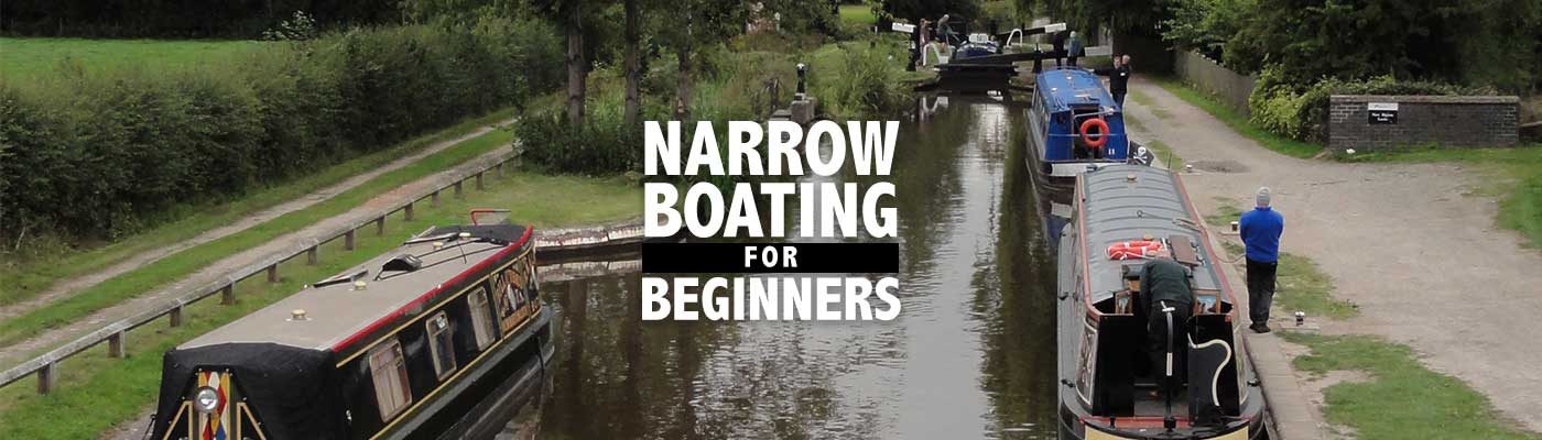
Day 3: Birmingham to Phepson Farm, 26.7 miles


 On Saturday my goal was to go south from Birmingham, following the canal to Hanbury Wharf, just east of Droitwich Spa, and from there to Phepson Farm Bed and Breakfast and Cottages. I would be retracing my ride of the previous day until I got to Kings Norton and the Wast Hill Tunnel, about which I was a little nervous.
The tunnel, which is about a mile and a half long (2,726 yards/2,493 meters), is a fun but spooky adventure on a narrowboat, but because there’s no towpath1 through the tunnel I would have to go aboveground. However I’d read a post on a cycling discussion board about being harassed while riding through the housing estates surrounding the tunnel, so I was apprehensive.
Map: Birmingham to Kings Norton
Unfortunately I again had little sleep. The temperature in my room at the hostel must have been in the 90s when I’d returned from my dinner with Andy. I told Philippa the night desk clerk and she battled with heat registers, control panels and even moved part of a wall in the lobby to turn some knob. That finally stopped the heat, but it took some time for the room to cool. Sometime during the night, however, the heat returned, making for a miserable night.
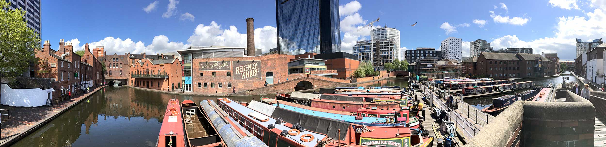
Consequently I was miserable in the morning and the weather—cool and misty with dull, gray skies—didn’t help. Once I started riding, however, my mood and the weather improved. Although threatening in the morning, it never really rained that day. By 10 am I made Kings Norton, where the Stratford-upon-Avon Canal meets the Worcester & Birmingham.
Worcester & Birmingham Canal
Like every canal ever built, the Worcs & B’ham Canal was a compromise. Worcester investors were the primary proponents of the canal, eager to reduce the cost of transporting Black Country coal to the city. An Act of Parliament authorizing the canal was obtained in 1791 and construction began in 1792 from the northern end. The canal didn’t reach Worcester until 1815 due to water supply problems; sub-standard lock and bridge construction; and cost overruns. These problems required additional rounds of financing and Parliamentary approval, further delaying progress.
Read more …Once it came time to dig the first lock, however, the prospect of making 58 wide locks proved too much for the owners. The remainder of the canal was made to accommodate narrowboats only.
The present top lock, number 58, replaced an experimental human-powered boatlift. Boats would have entered a caisson and then two men turning a windlass and aided by counterweights would have lifted or lowered the 64-ton caisson. It actually worked but apparently no one believed it would last. Its removal meant lock 58 had to be unusually deep at 11 feet.
Although the arrival of the canal in Worcester was greeted with much fanfare, the canal’s heyday was short lived once the railways arrived. For a while the canal company received rent from the Midland Railway for rights of way needed for the Birmingham West Suburban Railway, but in 1868, the canal company went into receivership. The canal itself was temporarily saved in 1874 when the company that owned the successful Gloucester & Sharpness Canal bought it.
The Cadbury Chocolate company ultimately saved the canal, using it to ship chocolate crumb—a mixture of sugar, milk and cocoa liquor—from the Severn to the Bournville factory. In February 1961, chocolate crumb was delivered to the Cadbury factory for the last time aboard the Olive, a “Severner” narrowboat. After that final trip the Olive was cut in half to make two pleasure boats.
Thankfully an original Cadbury crumb boat survives. The Mendip, built in 1948, was restored beginning in 2009 with a grant from the chocolate company, and in 2011 it revisited Bournville. The boat, which could carry a 25-ton load, now resides at the National Waterways Museum in Ellesmere Port, near Liverpool.
The surrounding trees provide a tranquil setting for the former toll house and the arched bridge over the Worcs & B’ham. I could easily ignore the faded graffiti on the somewhat battered bridge, evidence of a few wayward narrowboats. Eventually hunger intruded on my appreciation of beauty (yes, this is a theme). My breakfast at the hostel was already forgotten, so I asked a passing cyclist if she knew of somewhere to eat.

 She gave me directions to two nearby cafés (pronouncing them caffs), but while in search of them, I encountered the Navigation Inn. (Navigation Inn is a very popular name for a canal-side pub.) I’d noted it while planning my trip and as it was open, I thought I would eat lunch there. Unfortunately I was too early for food service and declined the suggestion of a pint. The bartender, however, said I could use the toilet, for which I was very grateful.
Leaving the pub, I realized I was at a roundabout that met the Redditch Road/A441, which was one of the two routes around the Wast Hill Tunnel I’d planned. I decided to push on rather than stop to eat, thinking I could have a later lunch at the Weighbridge in Alvechurch.

